
search
Ancient Rome street map
Map of ancient Rome street . Ancient Rome street map (Lazio - Italy) to print. Ancient Rome street map (Lazio - Italy) to download. The first and most famous ancient Roman street was the Via Appia (or Appian Way) as its shown in ancient Rome street map. Constructed from 312 BCE and covering 196 km (132 Roman miles), This street linked ancient Rome to Capua in as straight a line as possible and was known to the Romans as the Regina viarum or 'Queen of Roads'.
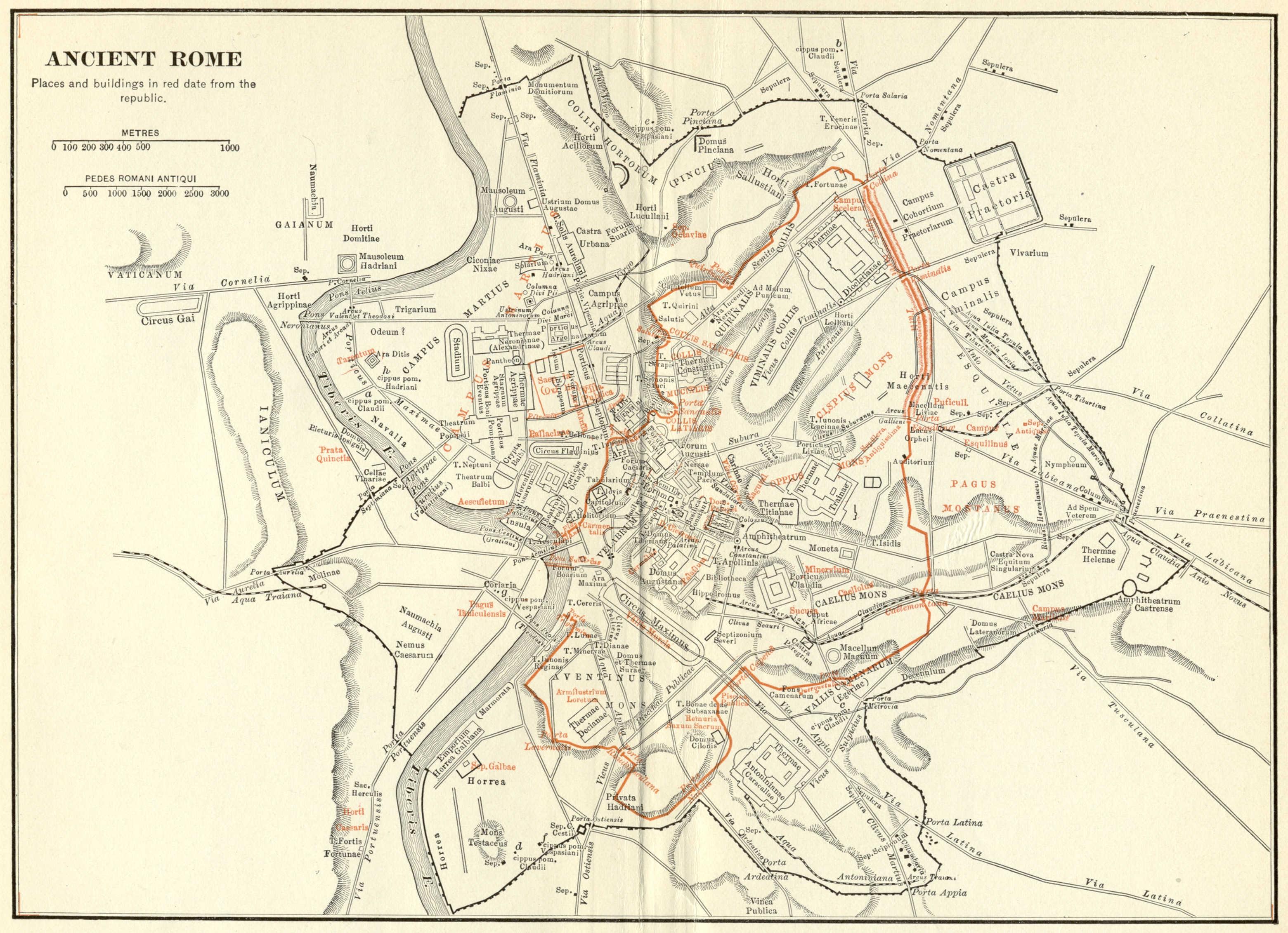
The Romans built cities throughout their vast empire. When they built a new city, they typically used the same type of city plans. The streets of ancient Rome were straight and on a grid as its mentioned in ancient Rome street map. Through the center of the ancient Rome were the two widest streets which went east-to-west and north-to-south.