search
Capital of Italy map
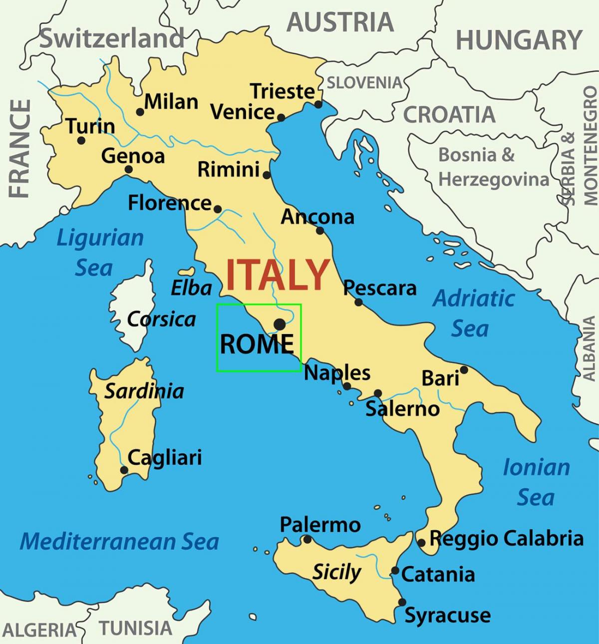
Map of Italy showing Rome. Capital of Italy map (Lazio - Italy) to print. Capital of Italy map (Lazio - Italy) to download. Rome is the capital of Italy and also of the Province of Rome and of the region of Lazio as its shown in capital of Italy map. With 2.9 million residents in 1,285.3 km2, the capital of Italy is also the country largest and most populated comune and fourth-most populous city in the European Union by population within city limits.
On January 21 1871 the capital of Italy was moved from Florence to Rome. Rome was considered the “natural” capital city of Italy, but being the capital city of the Holy See, was not easy nor convenient to make it (see capital of Italy map). After that, for many many years there was a great division among priest and strong believers against the Italian State, which had “conquered” the legitimate State of the Pontifex. This crack will be solved by Mussolini with the Patti Lateranensi in 1929.
The unification process of Italy started in 1848 and ended with the creation of the Kingdom of Italy in 1861. Since Rome was under the control of the Papacy, Florence was made temporary capital of Italy (see capital of Italy map). In 1870, Italian troops entered Rome, ending more than one thousand years of Papal control over the city. However, the Pope did not accept the unification of the peninsula and took refuge in the Vatican until the 11 February, 1929, when the Lateran Treaty was signed by Mussolini and the Pope Pius XI, creating the Vatican state.


