search
Roman aqueducts map
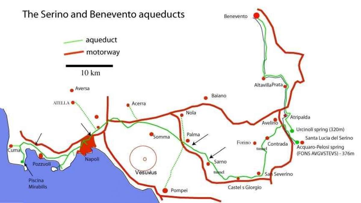
Map of Roman aqueducts . Roman aqueducts map (Lazio - Italy) to print. Roman aqueducts map (Lazio - Italy) to download. The Roman aqueducts was a channel used to transport fresh water to highly populated areas. Roman aqueducts were amazing feats of engineering given the time period. Though earlier civilizations in Egypt and India also built aqueducts, the Romans improved on the structure and built an extensive and complex network across their territories (see Roman aqueducts map). Evidence of aqueducts remain in parts of modern-day France, Spain, Greece, North Africa, and Turkey.
Roman aqueducts were built throughout the empire, and their arches may still be seen in Greece, Italy, France, Spain, North Africa, and Asia Minor. As central authority fell apart in the 4th and 5th centuries, the systems also deteriorated (see Roman aqueducts map). For most of the Middle Ages, Roman aqueducts were not used in western Europe, and people returned to getting their water from wells and local rivers.
The Roman aqueducts stand today, more than two thousand years later, as a testament to the engineering genius of the ancient Romans. These massive structures not only boggle the human mind as to how they were constructed but their function and reliability are still a modern marvel (as its shown in Roman aqueducts map). In fact, some Roman aqueducts remain operational to this day.


